Reimagining Soil Monitoring: How Aerial Intelligence is Changing the Game
Introduction: The Underground Blindspot
Soil is the living infrastructure of agriculture — yet for decades, it has remained one of the least digitally monitored systems in the field. Despite its critical role in supporting yields, storing carbon, filtering water, and buffering climate impact, soil often goes under-analyzed, relying on outdated methods like manual sampling and lab testing.
These methods are slow, labor-intensive, and yield static insights. Worse, they often fail to account for the field-level variability that defines modern agriculture. What if the southern slope of your field is drier than the northern edge? What if compaction is uneven, or organic matter varies by microclimate?
At Future Farmer, we believe that the future of soil management requires real-time, spatially aware intelligence. That’s why we’re building a new approach — one that starts from above.
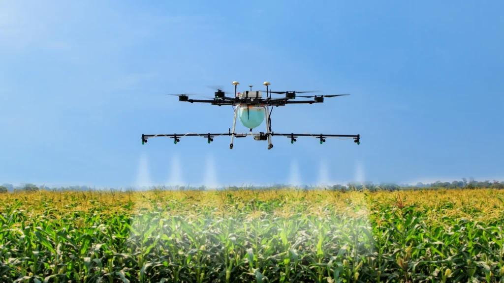
From Above the Ground to Below the Surface: A New Approach to Soil Monitoring
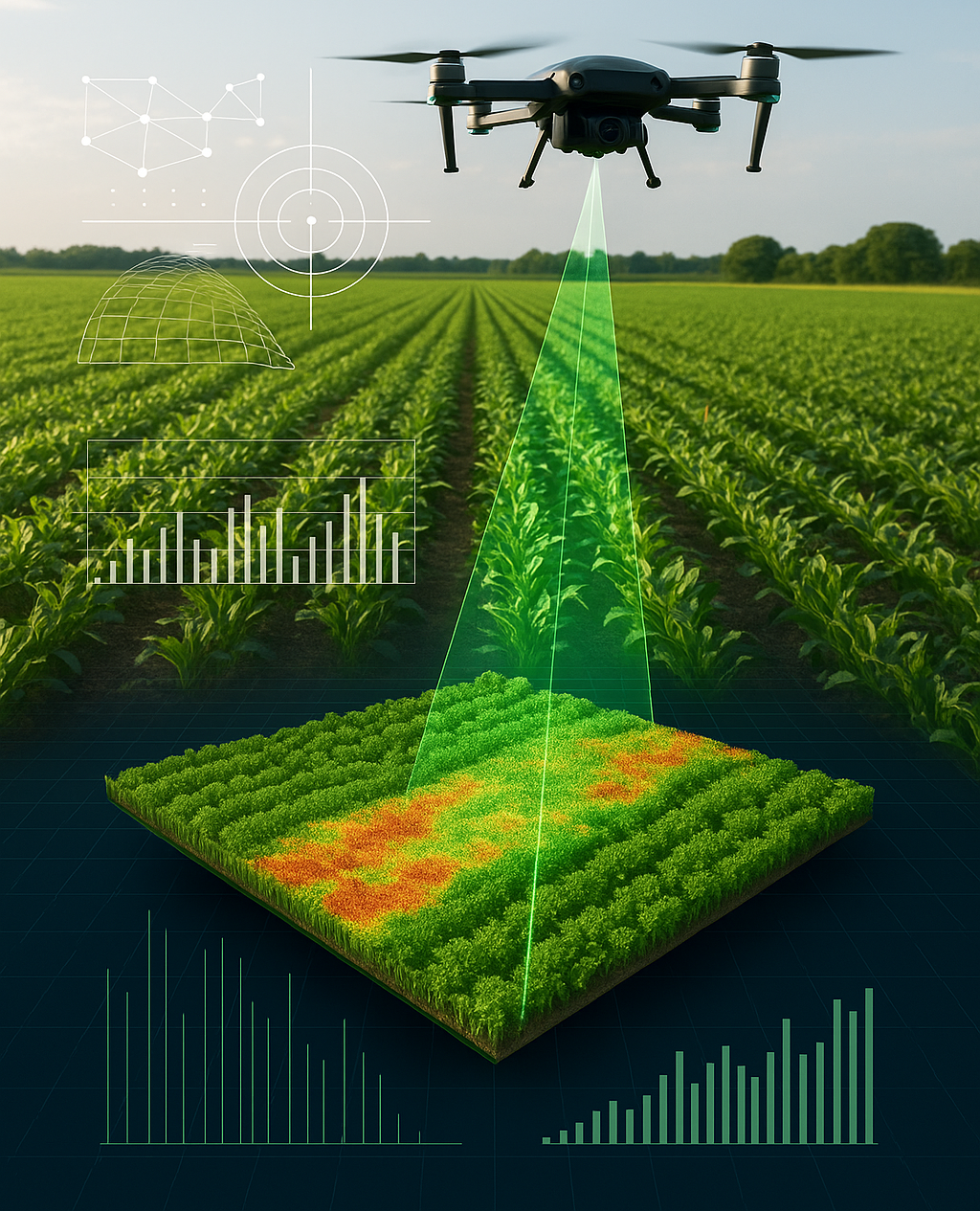
Using drone-mounted thermal, multispectral, and hyperspectral sensors, combined with AI-powered analysis pipelines, we are developing a system that can scan, map, and interpret soil health in real time. What used to take days of sampling and weeks of lab work can now be condensed into a single drone mission and a few minutes of cloud processing.
The key innovation lies not just in the drone hardware, but in what happens after the flight. Thermal sensors detect surface temperature anomalies that can signal water stress or compaction. Multispectral cameras analyze light reflectance across various bands to infer chlorophyll activity and organic matter. AI algorithms — trained on thousands of agronomic data points — translate this imagery into actionable, spatially tagged insights.
This turns every drone flight into a living map of soil health — layered, dynamic, and GPS-aligned to your precision agriculture system.
The Future Farmer soil intelligence system consists of three integrated components.
The first is our aerial capture platform, built on DJI Matrice 300 RTK and Mavic 3 Multispectral drones. These UAVs are fitted with sensors including MicaSense RedEdge-MX for multispectral imaging, FLIR thermal modules for surface heat detection, and optional LiDAR units to capture elevation and terrain texture. Each flight generates high-resolution imagery that covers dozens of hectares in under an hour.
The second layer is our AI processing engine. Once the data is captured, it is uploaded to our pipeline where algorithms process vegetation indices like NDVI, NDWI, and SAVI, classify soil conditions through convolutional neural networks, and detect compaction using patterns found in surface heat distribution. This engine flags anomalies and builds field-specific soil health models with rapid turnaround.
Finally, the third component is our data delivery system. We provide farmers with intuitive visual reports, along with downloadable GeoTIFF files and shapefiles that integrate into their farm management software. All datasets are compatible with our Simulation Lab platform and can be layered into digital twins for further testing. Over time, users can also compare season-over-season trends to monitor how interventions are working at scale.
Environmental Benefits: Doing More with Less
Soil degradation is a silent crisis. Over 30% of the world’s arable land has already suffered long-term productivity loss due to erosion, compaction, and nutrient depletion. Traditional farming often reacts too late, after visual symptoms like stunted growth or poor yields have already developed.
With aerial intelligence, we can move from reactive to proactive management. Early detection of stress zones enables targeted intervention before the damage becomes widespread. Our system helps reduce over-tillage by showing where the soil structure is still intact. It helps reduce over-irrigation by pinpointing areas of adequate moisture and identifying zones at risk of waterlogging. It helps reduce over-fertilization by enabling variable-rate application that matches actual need rather than a uniform average.
The outcome is more sustainable land use, less environmental runoff, lower fuel consumption, and better margins for farmers.
Challenges and What’s Next
Of course, deploying this technology at scale comes with challenges. Battery life limitations, cloud-processing latency, and sensor calibration in variable weather conditions are ongoing technical hurdles.
There’s also the need for intuitive UX design that allows non-technical users — many of whom are operating in rural, low-bandwidth areas — to use the platform with confidence.
That said, we don’t see these as barriers — we see them as the next set of design problems worth solving. We’re currently partnering with agronomy research labs, university field stations, and regenerative farmers across Europe and North America to co-develop, refine, and validate our soil intelligence system.
Over the next 12 months, we plan to launch an open pilot program where selected growers can access the system under real commercial conditions, helping us test both technical performance and usability in the field.
To learn more, press the button below, and a team member will get in touch with you as soon as possible.